![]()
![]()
![]()
![]()
![]()
![]()
![]()
|
|
|
|
|
|
|
|
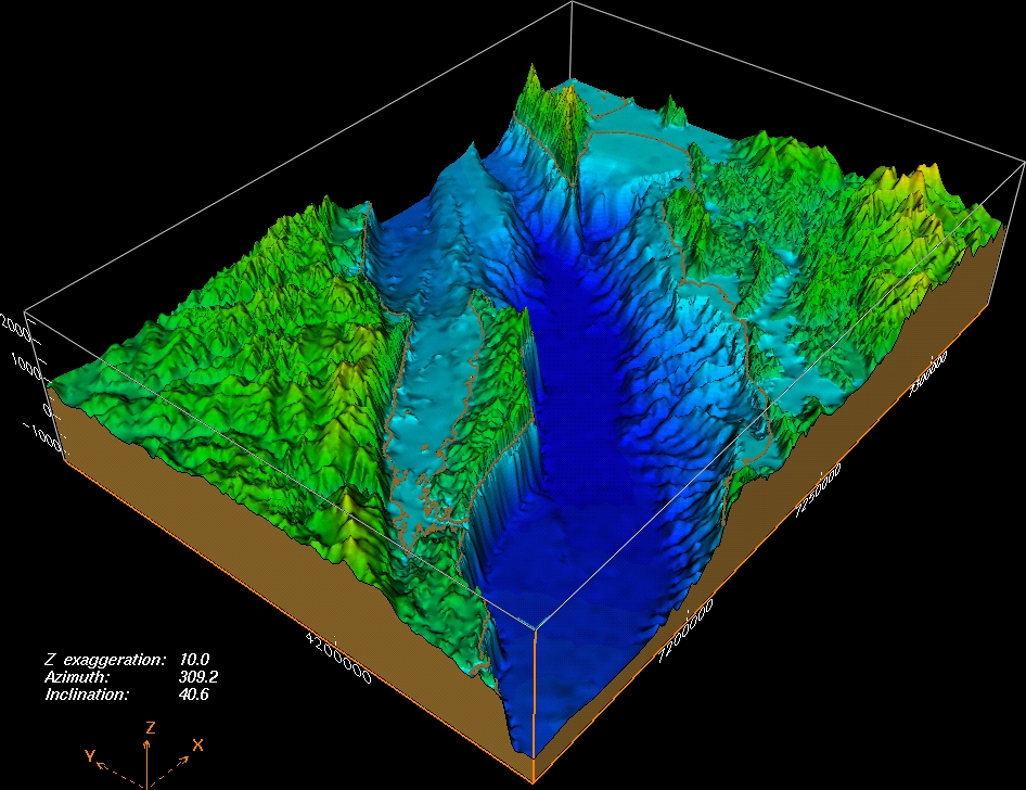
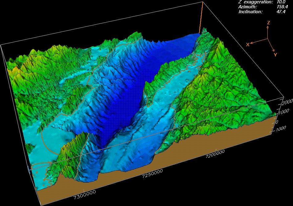
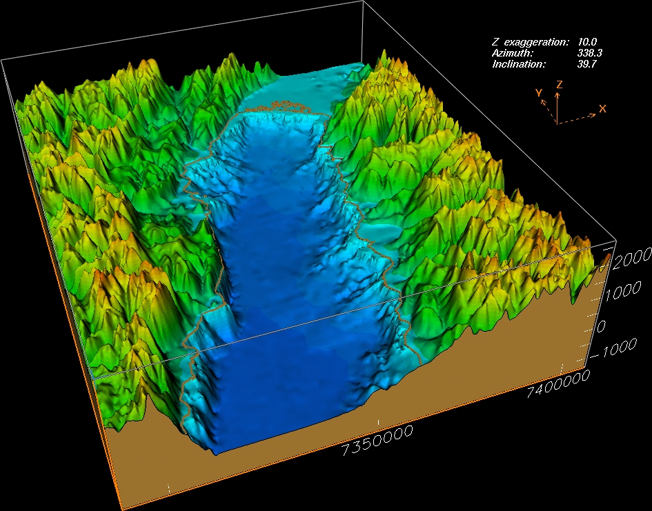
3D IMAGES
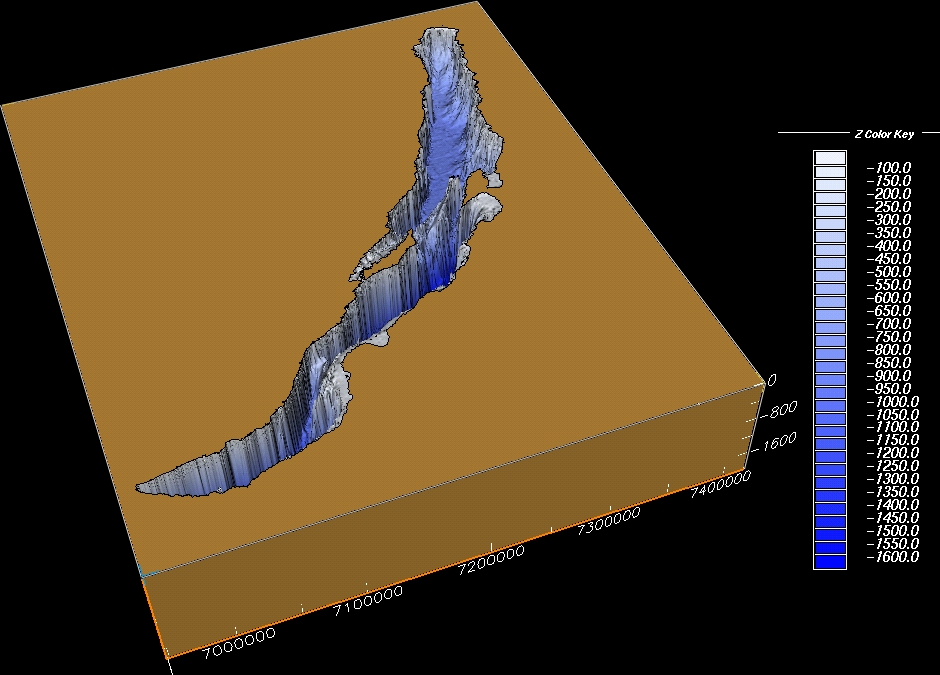
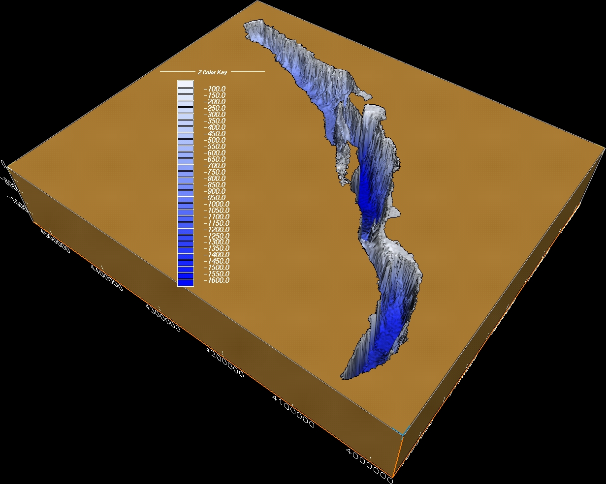
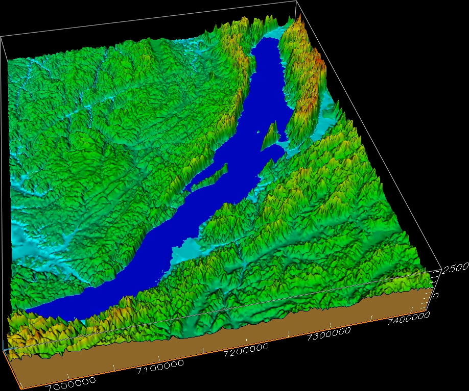
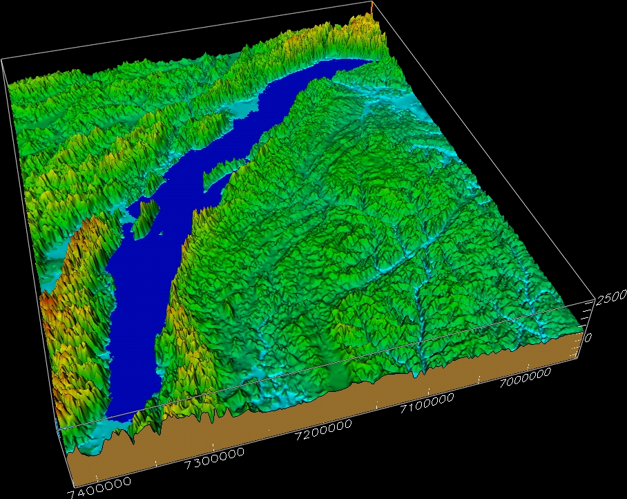
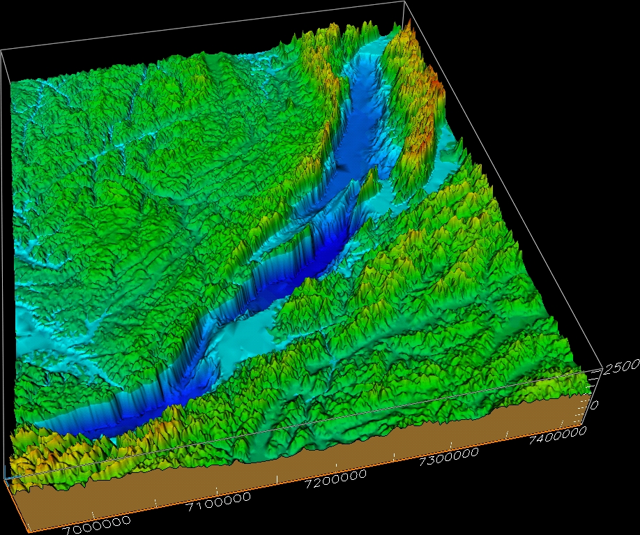
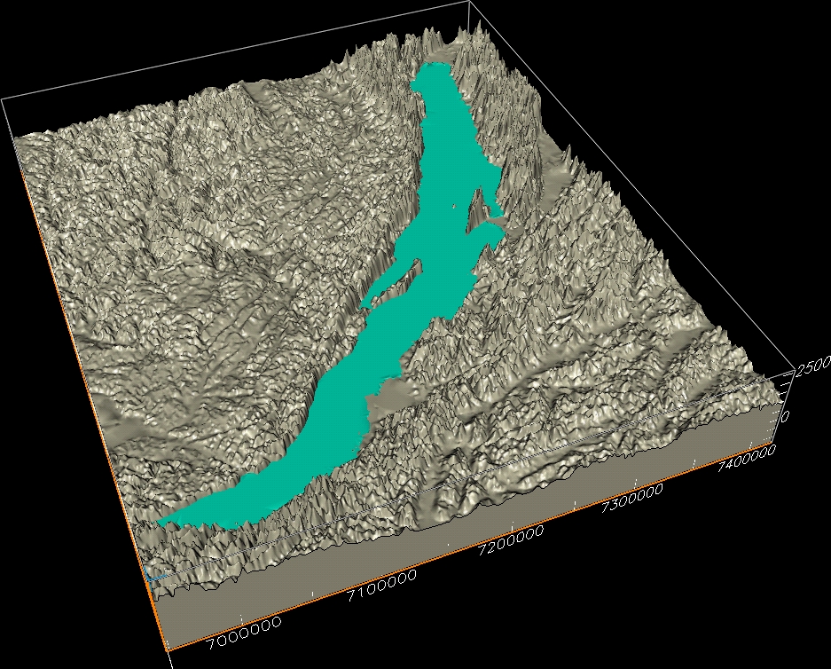
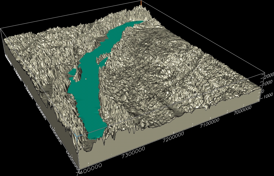
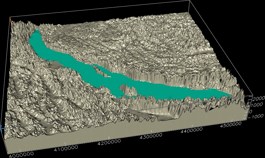
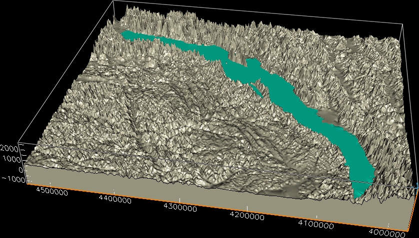
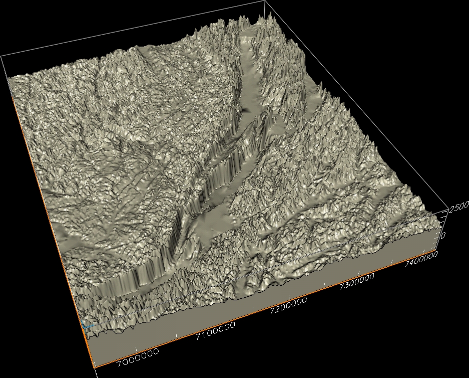
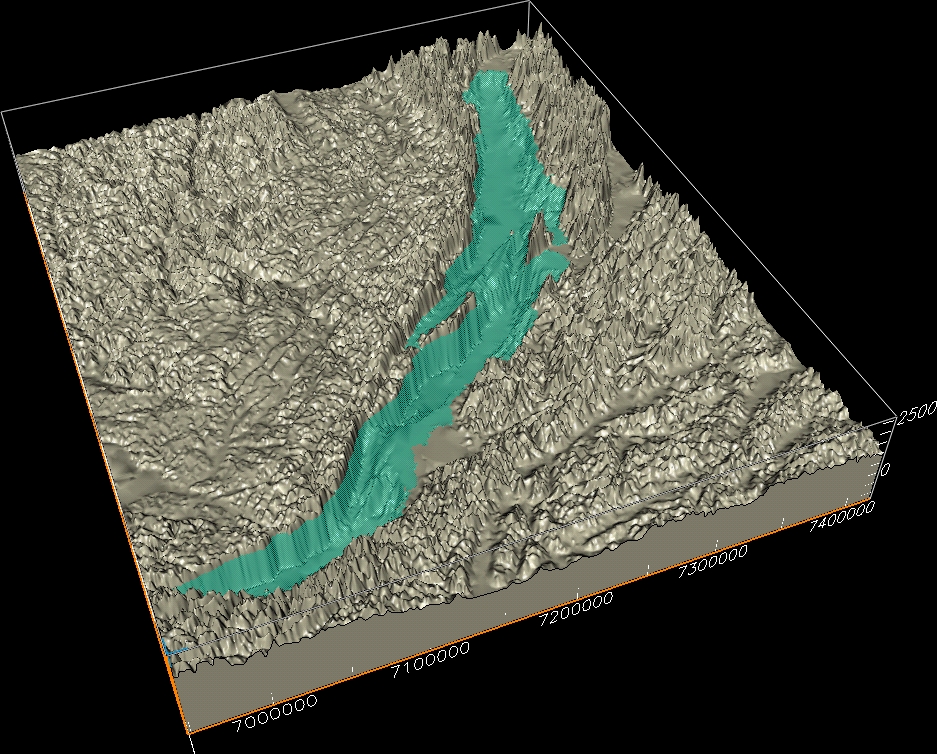
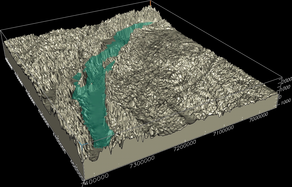
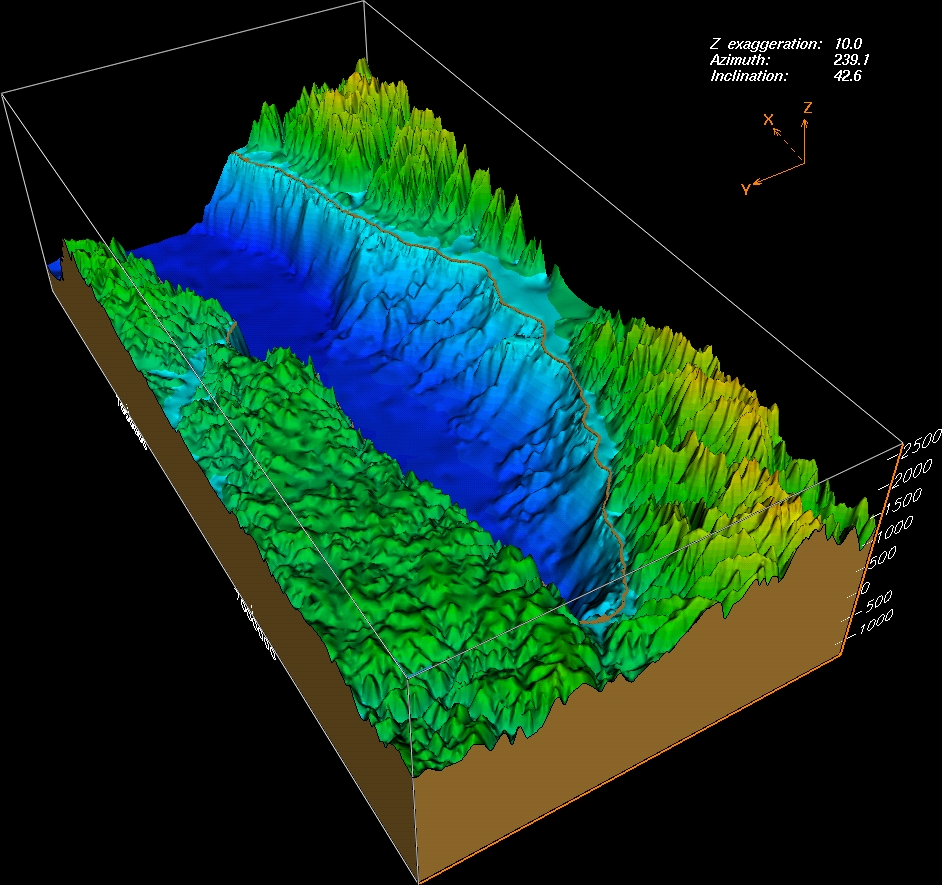
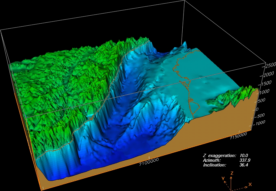
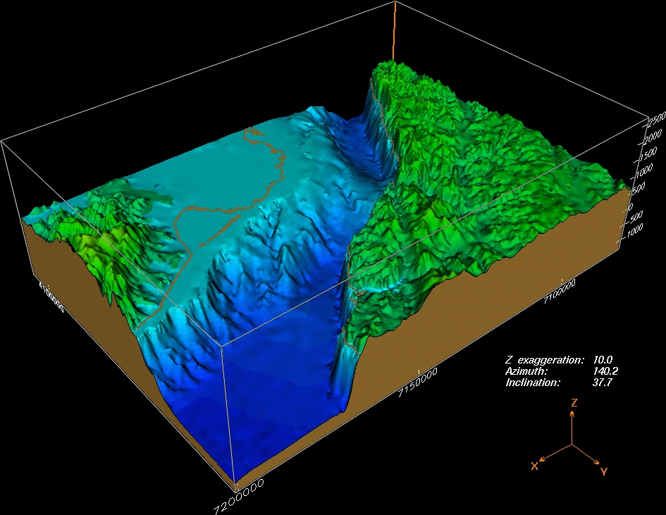
The new bathymetry data produced by the project and presented on CD-Rom as bathymetric maps have also been combined with topographic data into one regional digital terrain model (DTM). From this digital terrain model several 3D images have been produced. These images give an impression of the morphology of Lake Baikal and its surroundings, both above and below the water. All images are in .jpg image file format and they can thus be handled by most software applications.
By clicking on the small images below, the large .jpg files will be opened in a separate browser window.
 |
 |
 |
 |
 |
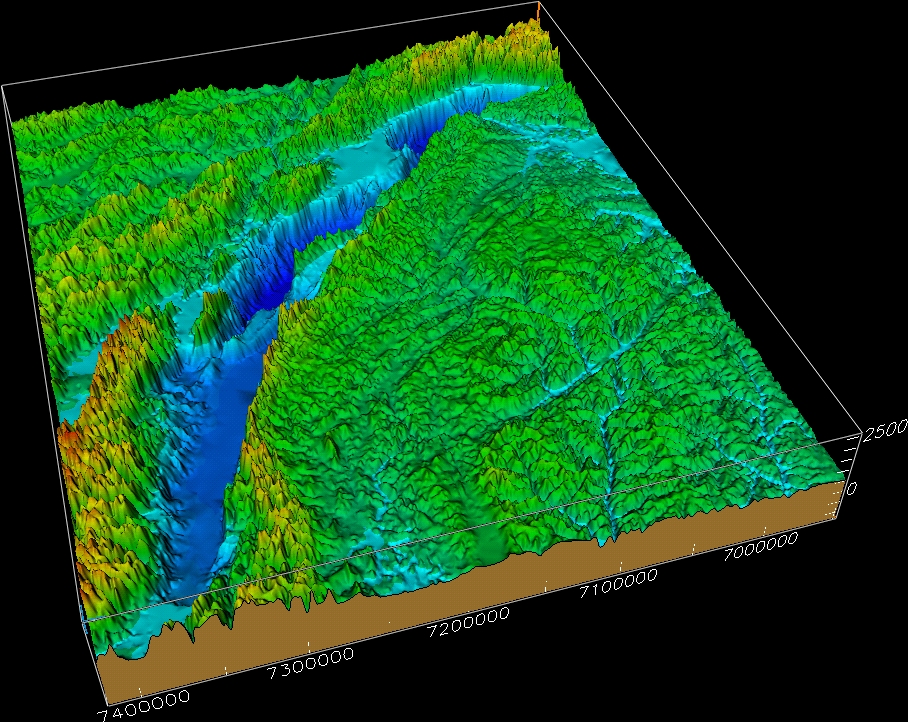 |
| color-coded 3D view of bathymetry (S) | color-coded 3D view of bathymetry (SW) | color-coded 3D view of topography (S) | color-coded 3D view of topography (N) | color-coded
3D view of bathymetry and topography (S) |
color-coded
3D view of bathymetry and topography (N) |
 |
 |
 |
 |
 |
| 3D
view (S) water opaque |
3D
view (N) water opaque |
3D
view (E) water opaque |
3D
view (W) water opaque |
3D
view (S) without water |
 |
 |
 |
 |
| 3D
view (S) water transparant |
3D
view (N) water transparant |
3D
view (E) water transparant |
3D
view (W) water transparant |
 |
 |
 |
 |
 |
 |
| detailed 3D view (NW) of Southern Basin | detailed 3D view (W) of Posol'skaya Bank and western part of Selenga delta | detailed 3D view (NE) of eastern part of Selenga delta | detailed 3D view (SW) of Ol'khon Island and the northern termination of the Central Basin | detailed 3D view (NNE) of Ol'khon Island and Akademicheskii Ridge | detailed 3D view (S) of Verkhnyaya Angara delta and the northern termination of the Northern Basin |
©
the INTAS Project 99-1669 Team, October 2002.
For more information contact: Marc.DeBatist@rug.ac.be