")
")
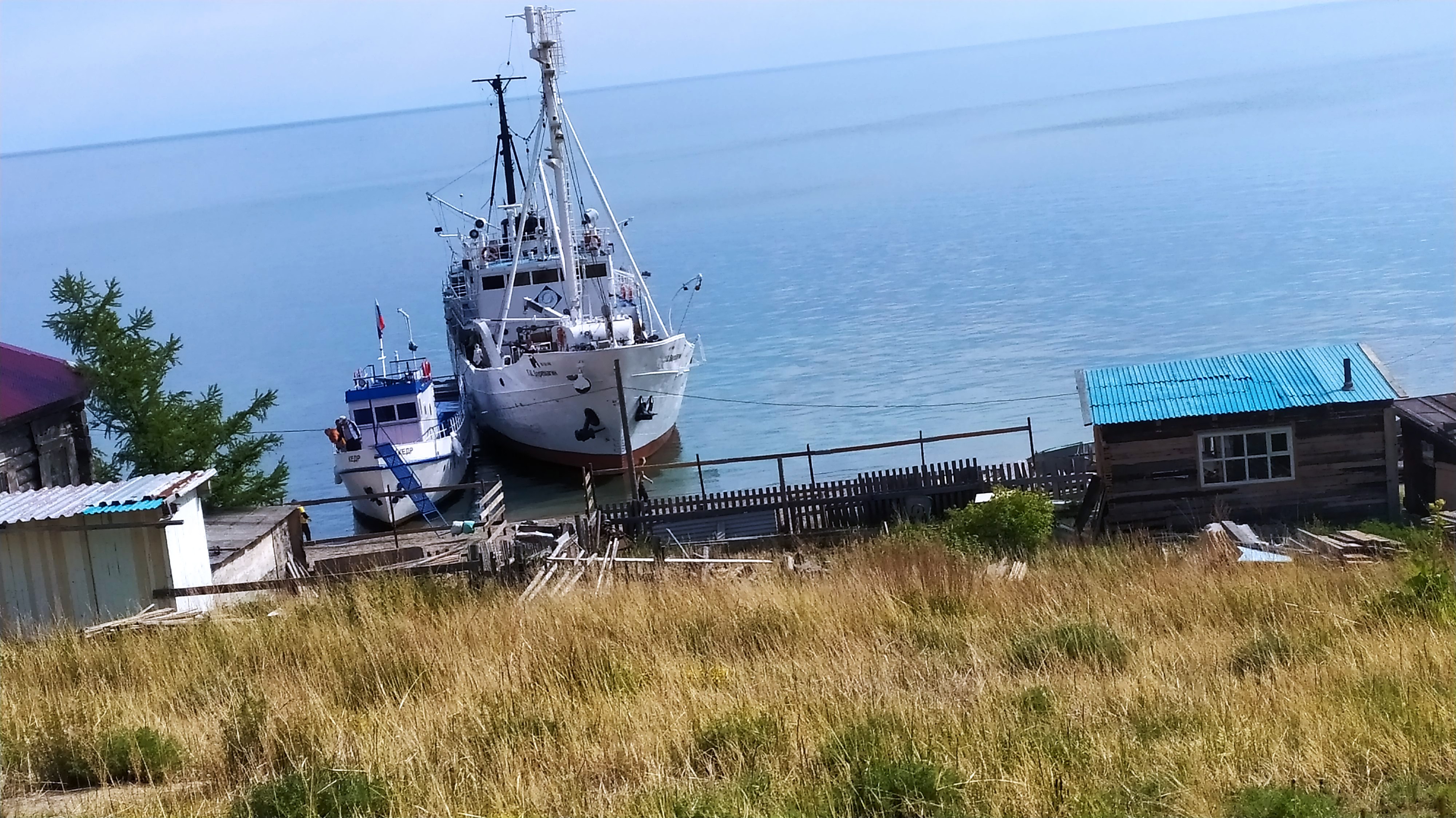
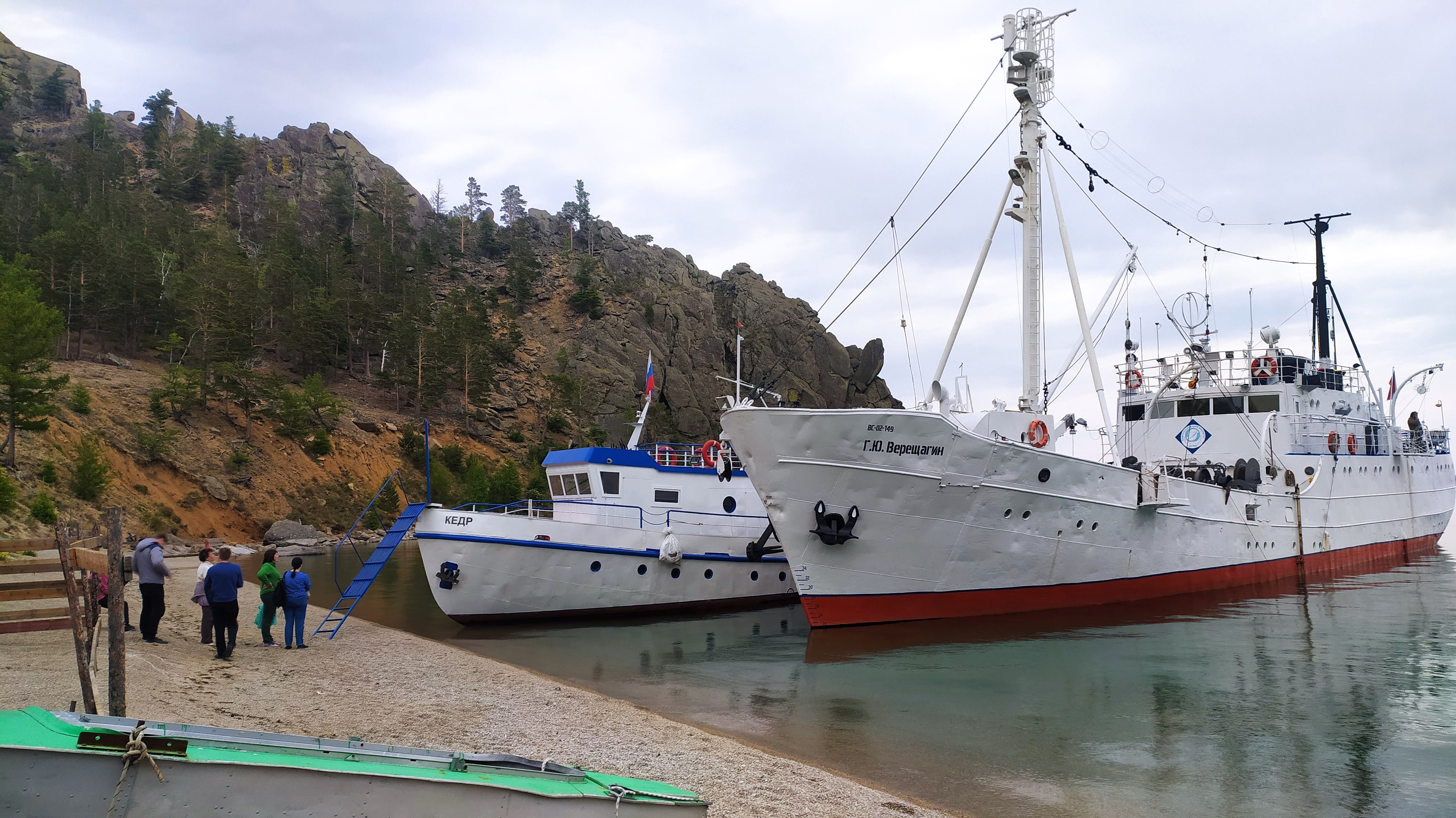
Complex Circum-Baikal expedition on board the RV “Vereshchagin” from 01 to 14 June 2022
The expedition was carried out within four programmes “Study of seasonal and long-term transformations of the state of water bodies and watercourses in East Siberia in the context of climate change, geological environment and anthropogenic loads” (project № 0279-2021-0005) (led by A. Fedotov), “Investigation of the advective and turbulent water exchange of Lake Baikal and its impact on the lake ecosystem, risks of catastrophic events” (project 0279 2021 0004) (led by N. Granin), «From cell to ecosystem: Research of the ultrastructure of hydrobionts and their communities in the evolutionary and ecological aspect by methods of cell biology and genomics», (project № 0279-2021-0008 ) (led by E. Likhoshvai), and “Study of viral and bacterial communities as the basis for the stable functioning of freshwater ecosystems and an effective response in conditions of anthropogenic impact” (project № 0279-2021-0015) (led by O. Belykh).
The aim of the expedition was to conduct a complex monitoring of abiotic and biotic components of the Baikal ecosystem during the period preceding the spring homothermy, to reveal the regularities of spatial-temporal dynamics of these components, experimental study of mechanisms and processes affecting the distribution and circulation of matter in the water column taking into account temperature-density anomalies of deep natural waters in the conditions of current climate changes. The distribution and transfer of physical and chemical (oxygen, biogenic elements) characteristics in the water column and water-atmosphere gas exchange are studied.
In 2022, the plan is to obtain new data on the impact of climate change and atmospheric circulation on the temperature regime, the distribution and abundance of plankton and the dynamics of biogenic elements. Horizontal and vertical exchange processes will be studied including the near-bottom and near-slope areas of the lake.
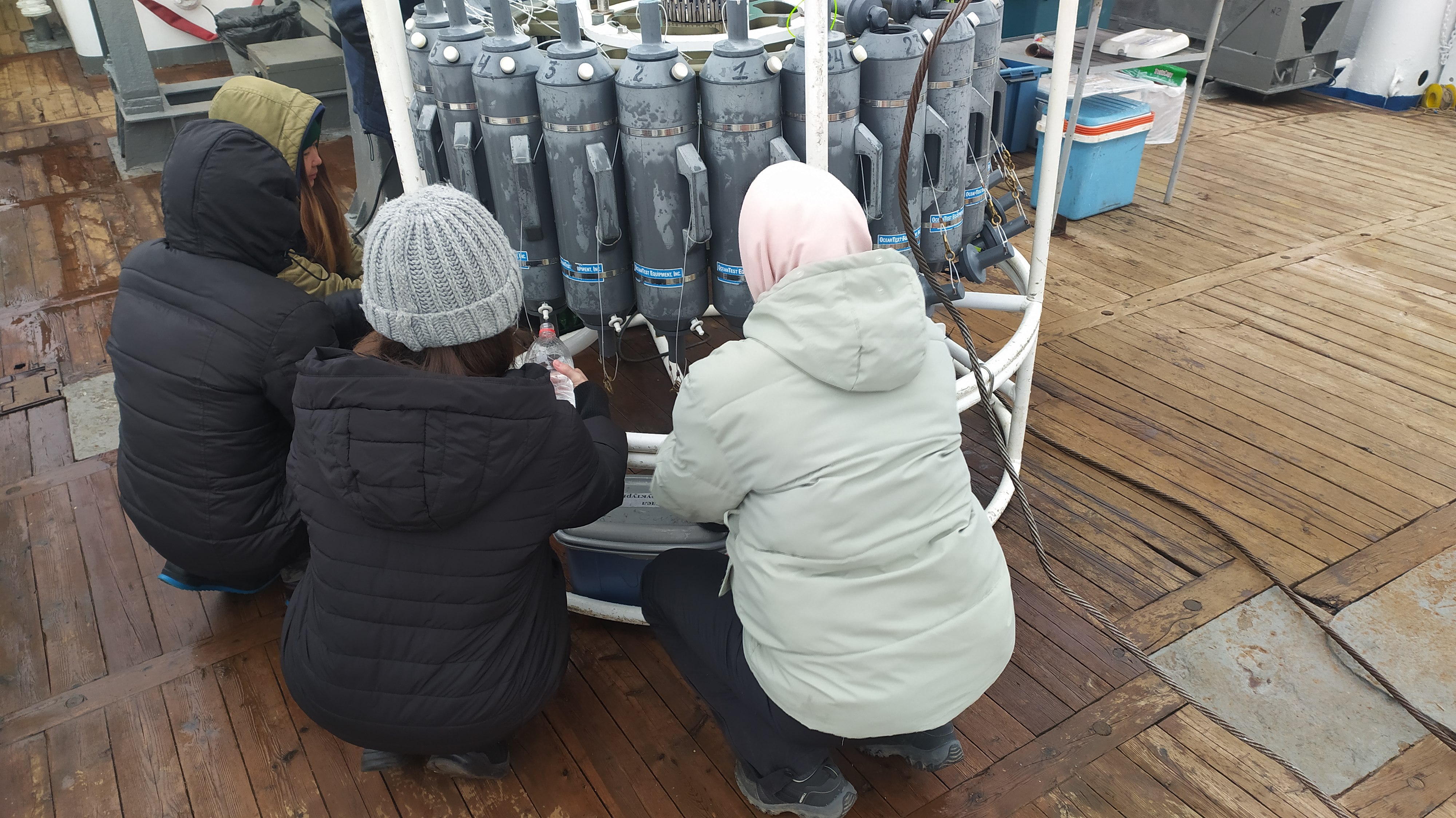
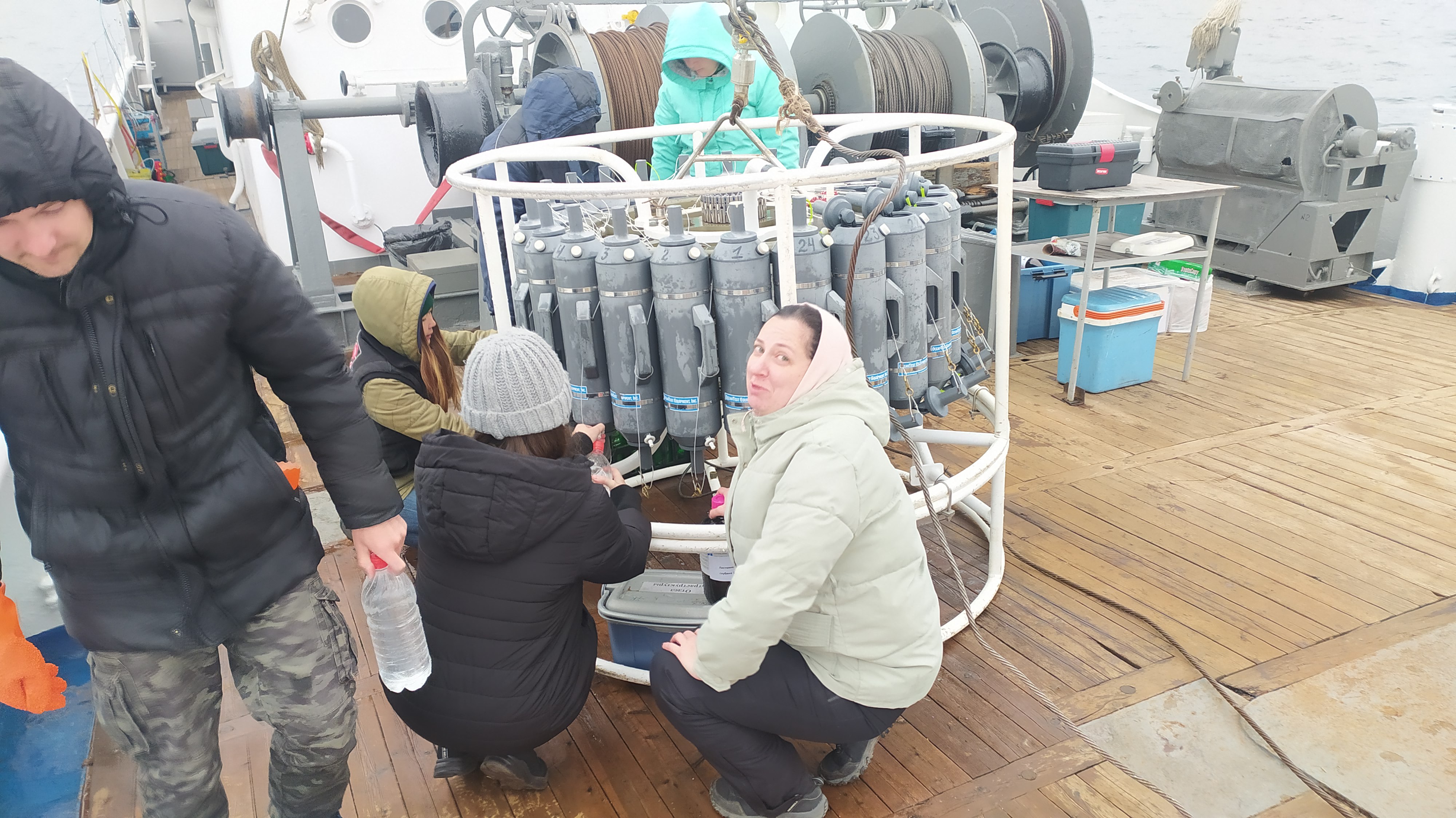
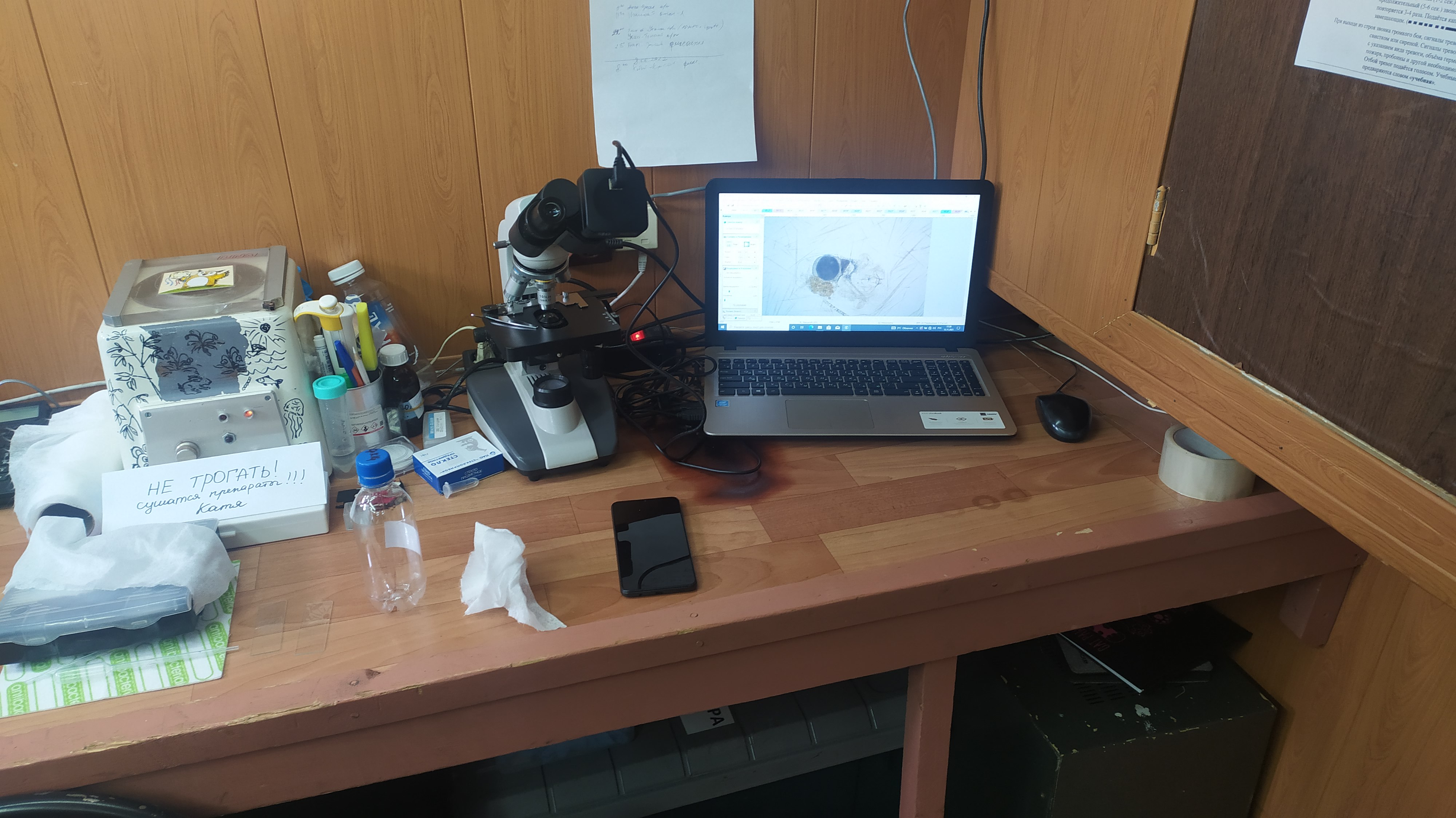
Sampling was carried out along a standard grid of the stations of the fixed horizons from the surface to the bottom using a Carousel SBE-32 sampler equipped with 24 bathometers of 5-liter volume each. Water samples were taken for chemical, microbiological, and metagenomic analyses, and for study of phytoplankton distribution and species composition. Samples of phyto- and zooplankton were taken by a Juday net. According to a standard grid of the stations, the works were carried out in three basins of the lake as well as in Barguzin bay, Chivyrkuisky bay, and the Maloye More Strait.
Fieldworks were performed at 110 stations including:
- 45 stations – sampling
- 29 stations – longitudinal section
- 32 stations – transverse sections
- 4 stations – in the bays
Besides, water samples for hydrochemical and microbiological analyses were taken from 11 rivers: the Goloustnaya, the Selenga, the Anga, the Sarma, the Turka, the Barguzin, the Tompuda, the Rel, the Tyya, the Verkhnyaya Angara, and the Kichera. Hydrophysical measurements were conducted at 66 stations using a high-precision SBE-25 CTD-zond with additional sensors of dissolved oxygen and transparency.
The total number of samples:
- hydrochemical analysis – 258
- microbiological analysis – 143
- methane concentration – 459
- zooplankton – 46
- phytoplankton – 83
- light microscope – 52.
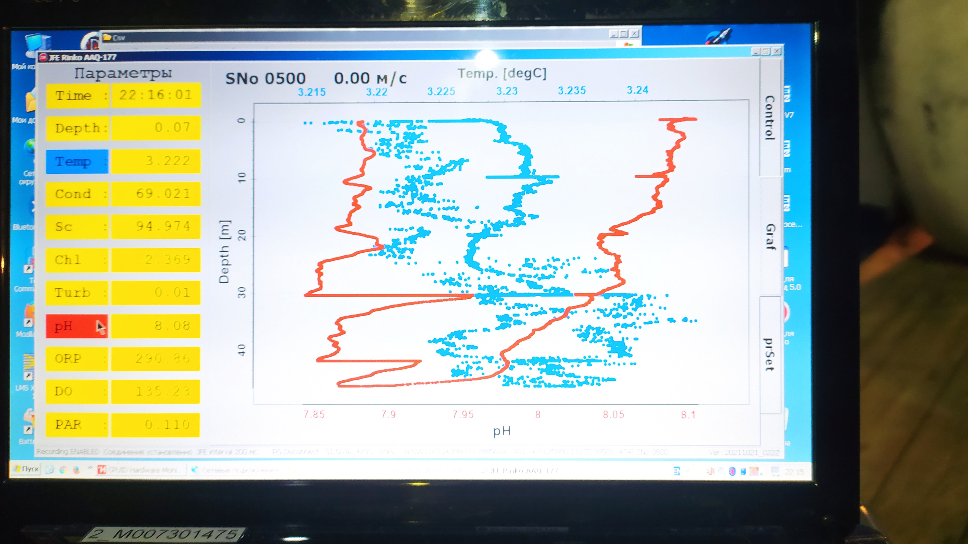
With the main works along the course of the research vessel, the water surface temperature was recorded, and the gas bubble outlet was monitored using a hardware-software complex based on Furuno echo-sounder with recording the data of echograms. At the stations, sounding of the upper (100 m) layer of CTD-zond a JFE-Rinko with additional sensors measuring oxygen, turbidity, fluorescence, Ph, Eh and PAR was performed.
According to the hydroacoustic and vertical sounding data, the downwelling area (sinking of water mass) was detected near Beryozovyi Cape. Additional measurements were made and water samples were taken for further analyses. At the distance of 2.36 n.m. to the East-North-East from the station "Khoboy Cape – Krestovy Cape", a new flare of about 1000 m high was identified by means of hydroacoustic monitoring at a depth of 1600 m.